id
Pays
Pays en Anglais
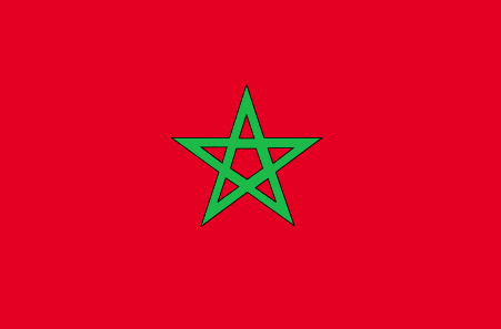
Morocco
Pays
Maroc
countryucasefr
MAROC
Pays en Chinois
Pays en Espagnol
Marruecos
Pays en Italien
Il Marocco
Pays en Portugais
Marrocos
Pays en Allemand
Marokko
countrypy
mo2 luo4 ge1
countrylocal
Al Maghrib
countryfull
Morocco
countrynm
Morocco
ISO2
MA
ISO3
MAR
countrycodeisono
504
countrycodevehicle
MA
countrycodeolympic
MAR
countrycodeirs
MO
countrycodeirsfr
MO
countrycodeirsmixt
MO
countrycode
212
♂Masulin
12
6
3
languagesfr
Arabe
121
currency
dirham
currencyfr
dirham
currencyisocode
MAD
currencyisocodefull
MAD 504
currencypxcode
MAD
currencysymbol
DH
currencysubdivision
100 centimes
currencyregime
composite
currencyvalue
0.1111
nationalityfr
Marocaine
Capitale
Rabat
capitalfr
Rabat
Préfixe Tél.
212
Superficie km2
446 550
arealand
446 300
areawater
250
landarablerate
0.2012
landforestrate
0.068
coastline
1835
summit
Jebel Toubkal 4 165 m.
boundarycountries
Algérie, Sahara occidental.
flaglink
maplink
macolor.gif
outlinemaplink
maout.gif
visapassenger
-1
maincities
Casablanca, Marrakech, Fès, Oujda, Kenitra, Tetouan, Safi, Meknès, Agadir, Tanger.
largestcity
Casablanca
largestcitypopulation
3 101 000
rankpopulation
37
Population
30 113 000
rankgdp
56
gdp
43727000000
rankgdpppp
53
gdpppp
120578000000
rankgni
57
gni
39367000000
rankincomeorigin
128
rankincome
140
income
1310
rankincomeppp
132
incomeppp
3940
lifeexpectation
70.35
alphabetizationrate
0.5085
natalityrate
0.02279
mortalityrate
0.00571
mortalityrateinfantile
0.04325
hdi
0.606
urbanization
0.551
precipitation
426
nationalevent
Throne Day (accession of King MOHAMED VI to the throne)
nationaleventfr
Jour du Tronc (accession du Roi MOHAMED VI au Tronc)
nationalholiday
30 July (1999)
Date de naissance aaaa-mm-jj
1999-07-30 00:00:00
6
4
location
Northern Africa, bordering the North Atlantic Ocean and the Mediterranean Sea, between Algeria and Western Sahara
terrain
northern coast and interior are mountainous with large areas of bordering plateaus, intermontane valleys, and rich coastal plains
naturalresources
phosphates, iron ore, manganese, lead, zinc, fish,
cooking
Tagines.
7
Web
rgbback
16777215
todate
1
Notes
Tagines.
Nation de suprême intelligence, le Lapin de Terre a inventé les chiffres numériques 0,1,2,3,4,5,6,7,8,9, algèbre, mathématiques.